Vintage Maps
$10.95
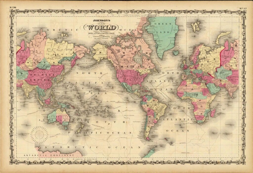
At the Clarinet Institute, our love for history is rivaled only by our passion for archiving—and few things capture the past as beautifully as maps. Thanks to the generosity of the Palisades Art Foundation, we’ve created a stunning digital collection of 297 historic maps, spanning from the 1500s to the late 1800s.
Reading history books can sometimes feel dry, but maps offer a vivid window into how people once saw the world. They reveal the boundaries, beliefs, and curiosities of their time—some accurate, others wildly imaginative.
While you can find small, low-resolution map images scattered across the internet, our collection is different. These are high-resolution scans—large enough for printing, framing, or even covering a wall. The smallest map in our archive is 2519 x 3436 pixels, while the largest, a 1688 depiction of what would become the U.S. and Canada, clocks in at a massive 19642 x 12803 pixels. At 100 DPI, that’s mural-sized!
Explore maps from the 1500s to the 1700s that illustrate a partially known world—fragments of the Americas, blank spaces where explorers hadn’t yet ventured. Discover 1800s-era maps labeling Australia as “New Holland” and much of South America as “Mostly Unknown.” At the Clarinet Institute of Los Angeles, we especially enjoy old North American maps that don’t even acknowledge the existence of Los Angeles!
You’ll also find detailed vintage city maps of London and Paris—an engaging mix of historical insight and artistic beauty. It’s a treasure trove for history buffs, map lovers, or anyone with a curious mind.
This makes a thoughtful gift and promises hours of discovery. To help you date the maps, we’ve even included a handy reference guide.
Please note: This archive is available exclusively as a digital download.
Digital Download $10.95
$10.95 | Buy NowInstant Access: Tips for Downloading Your Archive ↓
Vintage Maps Archive – 297 Old and Ancient Maps


